The populations of the National Park and SDP areas were built up from the General Register Office for Scotland’s mid-2008 local authority and data zone populations. Data zones are the standard small area geography used by the Scottish Government. In general they have populations of between 500 and 1,000 residents. Data zone boundaries do not exactly match National Park and SDP boundaries and so, for the purpose of the projections, data zones are included or excluded based on the data zone centroid, as determined by the Scottish Government. Data zones that have been used to calculate household projections for National Park and SDP areas are listed in Annex A and Annex B.
The use of data zone centroids is a standard approach for assigning the population of a small geographical area to a larger area if the small area does not wholly fit within the boundaries of the larger area or lies across the border of two larger areas. The centroid is not a representation of the geographical centre of the data zone, but rather a representation of the population weighted centre or, put more simply, the population "centre of gravity" of the area. In this publication, a data zone is allocated to the National Park if the population weighted centroid lies within the park boundary.
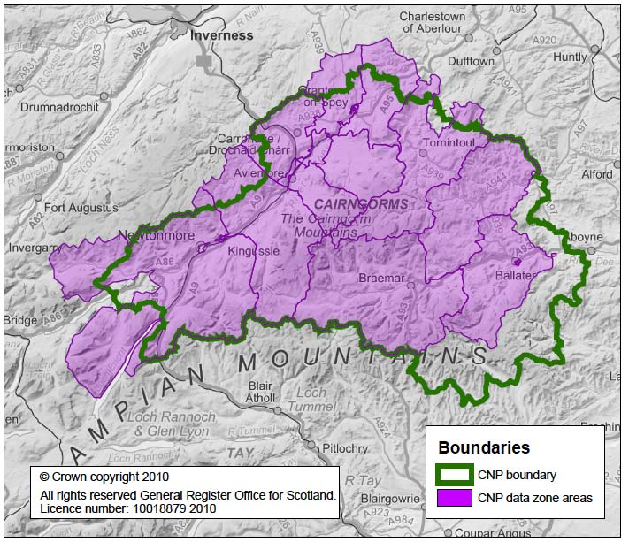
The boundaries of the National Park areas, and the relevant data zones, are shown in Map 3 and Map 4.
Map 3: Map of CNP comparing National Park and data zone boundaries
Map 4: Map of LLTNP comparing National Park and data zone boundaries
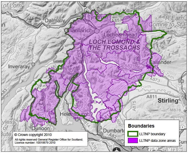
Though the actual park boundaries do not precisely match those used in this publication, the difference between the two is very small in terms of population. (Data zone populations have been estimated to be 1.89% less for the Cairngorms National Park and 3.77% less for Loch Lomond and the Trossachs when compared to postcode populations3). The Cairngorms National Park boundary does not coincide with the data zone boundary around Boultenstone and Dinnet to the east of the park, Glen Clova to the south west, Glenlivet to the north east, and the area east of Loch Laggan. For Loch Lomond and the Trossachs, mis-match occurs near Balloch, Killin, the eastern shores of Loch Earn and the area around Glenbranter.
More detailed maps that show the location of population weighted centroids are available at http://www.scotland.gov.uk/Topics/Statistics/sns/BoundMap#a12
A paper describing the methodology for calculating data zone centroids can be found at http://www.scotland.gov.uk/Topics/Statistics/sns/SNSRef